

To let Plug and Play Maps create a map on your web page, you need to add just two simple lines (<script> tags) to your web page, one for the map service (Google Maps), and one for Plug and Play Maps. They can both go together in the <body> of your page (useful if you are using a blog or other software that only gives you access to the main content area of your web pages).
Your Google <script> includes your Google Maps API keycode, which you get when you register your website with Google Maps. With the keycode you enter a <script> like the following on any web page where you want a map (but use your own keycode, not the one shown here -- it only works on our website):
<script src="http://maps.google.com/maps?file=api&v=2.x&key= ABQIAAAAIINK8vsVu6Kw4PqMqajNdxQdRB7racevSMk18ZQLrMieNmiFXxTq-LKFYybJ3qD8oy73Ag3qvDyGEg"></script>
Your Plug and Play Maps <script> is where you tell what data or data file(s) you want to include in your map, and where to put the map on your page. The simplest way to use it is to put it in the <body> of your web page at the spot where you want the map to appear (see the examples or the How To topics for other ways to specify the map location). And the fastest way to create the <script> that you need is to use our interactive Designer to quickly configure your settings. Here's an example:
<script src='http://www.plugandplaymaps.com/js?datafile=http://www.plugandplaymaps.com/gallery/data/states.csv'></script>
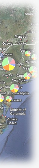
This tells Plug and Play Maps to insert a map on your page at that location and plot the data in states.txt on the map. Note that any data file to be mapped must be available somewhere on the internet - usually somewhere on your website.
If you want to map data that is not in a file (for example, data coming out of your website database), you can pass the data directly to Plug and Play Maps in the <script> - see the database topic for details.